Tributaries And Upper Reaches
Details
We have all fishing on the River Almond, Linhouse Water, Muireston Water, Killandean Burn, Breich Water, Harwood Water, and the West Calder Burn all the way up to their Sources!
We have over 45 Miles of tributaries and upper reaches for you to explore!
Most are not too easily accessible however if you have a look at our map above it will give you the best places for parking to try and access particular areas. Our tributaries and upper reaches don’t have particularly good access and we would recommend those who aren’t quite so able bodied do not venture up them on their own.
Our website will have more information coming soon however if you would like any further info on any of these in the meantime please get in touch with us or pop along to one of our fly-tying nights for a chat!
Gallery


Real Time River Levels
Did you know that you can check the current water height of the river Almond at Almondell Country Park?
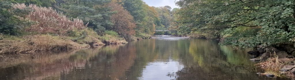
The SEPA water level monitor sits just down from the canal feeder bridge (the green bridge, pictured in the background here). This Bridge is named the ‘canal feeder bridge’ as it carries the main source of water from the river to the Union Canal.